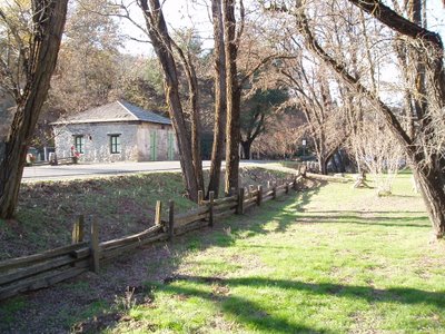
A friend of mine and I decided to take a little drive today. We went first through Placerville (Hangtown, as it was known in the Gold Rush days), county seat of El Dorado County, to Apple Hill--had to get some snackies. Then we drove to Coloma, site of James Marshall's gold discovery in the tailrace of Sutter's Mill in 1848--the event that started the Gold Rush of '49. I didn't take pictures of the recreated mill or of the buildings along the main street; instead, I took some pictures showing the bucolic nature of this former boom town.
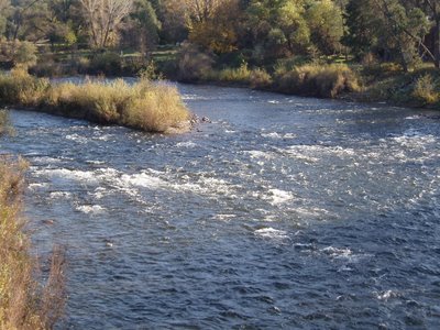
The American River
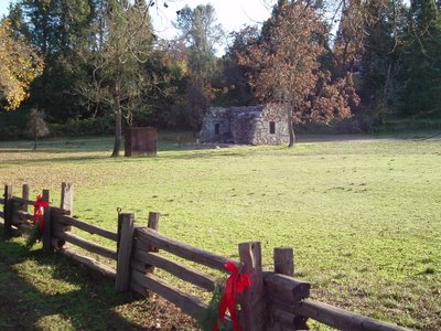
Site of the original mill
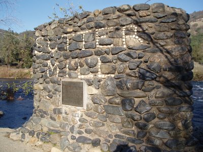
What's left of a jail


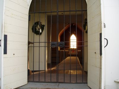
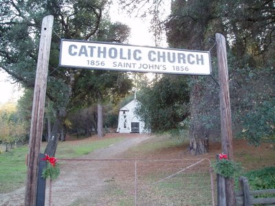
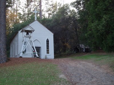
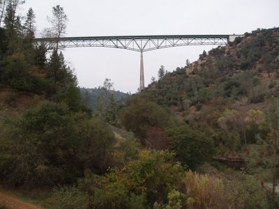
After leaving Coloma we continued on Highway 49, driving through Pilot Hill and Cool (only in California!) and down to the bottom of the American River canyon, easily crossed by the highest bridge in the state.

Shortly we reached Auburn, the Placer County seat. The courthouse, completed in 1898, sits atop a rather steep hill, and even today is an imposing presence.


After that we came home. It was a nice way to spend a Saturday.
5 comments:
Sonora, Sutter Creek, Jackson, Volcano, West Point, Indian Grinding Rock--those would make for some great shots, too.
Pennsylvania photos here.
I remember when you posted those--beautiful! My grandfather's people are from the hinterlands of NW Pennsylvania. They've been there for awhile, as I have a few letters written to my great-great-great grandfather after he was drafted into the Civil War in 1864 (over 40 yrs old at the time).
The reason it is so high, is that it was supposed to be above a lake .
Seismic safety is cited as the reason the dam wasn't ever built.
I think that environmentalists really killed the project.
Oh well base jumpers gain I guess.
I've walked out onto that bridge, and it is really spooky looking down.
Seismic activity, my posterior.
It *is* supposed to be above a lake, should the Auburn Dam ever get built, but it's so high only because the canyon is so deep.
Post a Comment